By late July 2026, 141,000 people were moved in France, including the entire Cap-Ferret peninsula, while 220,000 eventually fled the Gironde region. This stands as the country’s largest peacetime civil evacuation, highlighting a systemic mismatch between summer tourism density and the physical limits of rural road networks.
European wildfires and evacuation failure occurred on a massive scale in 2026 when over 330,000 people were displaced across Southwest Europe because traditional road networks could not handle the volume of fleeing residents and tourists. While authorities in France and Spain issued emergency orders, the infrastructure often failed to provide a viable exit. This crisis demonstrated that seasonal population surges require more than digital alerts; they require physical bypasses.
The Maritime Pivot: How Cap-Ferret Handled the Largest Peacetime Evacuation
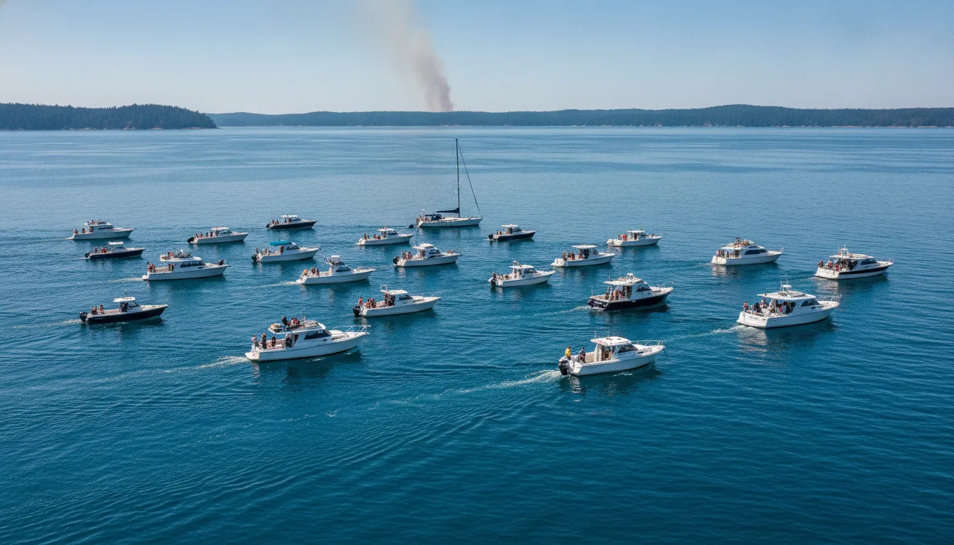
Last July, a fleet of private ferries and pleasure boats moved thousands of people across the Arcachon Basin while the only road out of Cap-Ferret was choked by smoke. This was not a leisure cruise but a functional bypass of a geographic dead end. It proved that when land routes fail, water provides the only reliable exit.
The "peninsula trap" is a logistical reality for coastal tourism. When a single road serves tens of thousands of visitors, that road becomes a bottleneck rather than an escape route. During the 2026 fires, traditional models failed because they relied on infrastructure that was either blocked or burning.
Instead of relying on a fragile road network, authorities used the Arcachon Basin as a liquid highway. They moved people onto the water, bypassing the gridlock entirely. This maritime pivot turned a potential disaster into a manageable operation, proving that geographic constraints can be bypassed.
We often focus on sirens and warning apps, but those are simply gestures that alert you to a problem. Amphibious logistics is a lever that provides a physical path when the primary one disappears. That’s not a gesture; that’s a lever.
Amphibious logistics is a lever that provides a physical path when the primary one disappears.
The Scale Check: European Wildfires and Evacuation Failure at the 35 °C Threshold
By July 28, 2026, the numbers provided a cold reality check for European disaster management. Over 330,000 people were displaced across Southwest Europe, revealing a systemic failure of our current defensive models. This was not a temporary crisis but a failure of engineering.
In the Madrid region, authorities evacuated 63,000 people when two separate fires merged into a single, massive blaze. This merger pushed the fire beyond extinguishing capacity, meaning traditional aerial water drops were no longer effective. When heat and fuel align at this scale, the math of suppression simply stops working.
The Landes de Gascogne forest in France shows us the math of the 35 °C threshold. Once temperatures hit 35 degrees Celsius, the pine resin and dry undergrowth turn the forest into a high-pressure tinderbox. At this specific temperature, fire behavior becomes so erratic that standard safety zones for firefighters are no longer secure.
The honest scorecard for the 2026 season is stark. Spain lost 152,000 hectares, a figure six times larger than the same period in 2025. Across the region, 330,000 people were displaced, a number equivalent to three-quarters of the population of Tallinn fleeing their homes at once.
The Tourist Catch: When Holiday Infrastructure Meets a Monster Cloud
Spain attempted to contain the 2026 crisis by declaring a Level 3 Emergency to mobilize every available national resource. However, the burned area still reached 152,000 hectares by late July, a figure six times larger than the area lost during the same period in 2025. This massive surge proved that even the highest emergency status fails when the blaze outpaces physical limits.
While authorities ordered thousands of tourists to evacuate in France, residents were simultaneously permitted to return to rescue livestock. This created total gridlock on narrow rural road networks. The data indicates this is a predictable engineering failure rather than simple bad luck.
The French blazes generated a pyrocumulus, or "monster cloud," creating its own weather system and erratic winds. This atmospheric change rendered aerial firefighting largely ineffective. This shift turned the standard aerial suppression lever into a useless gesture against the heat.
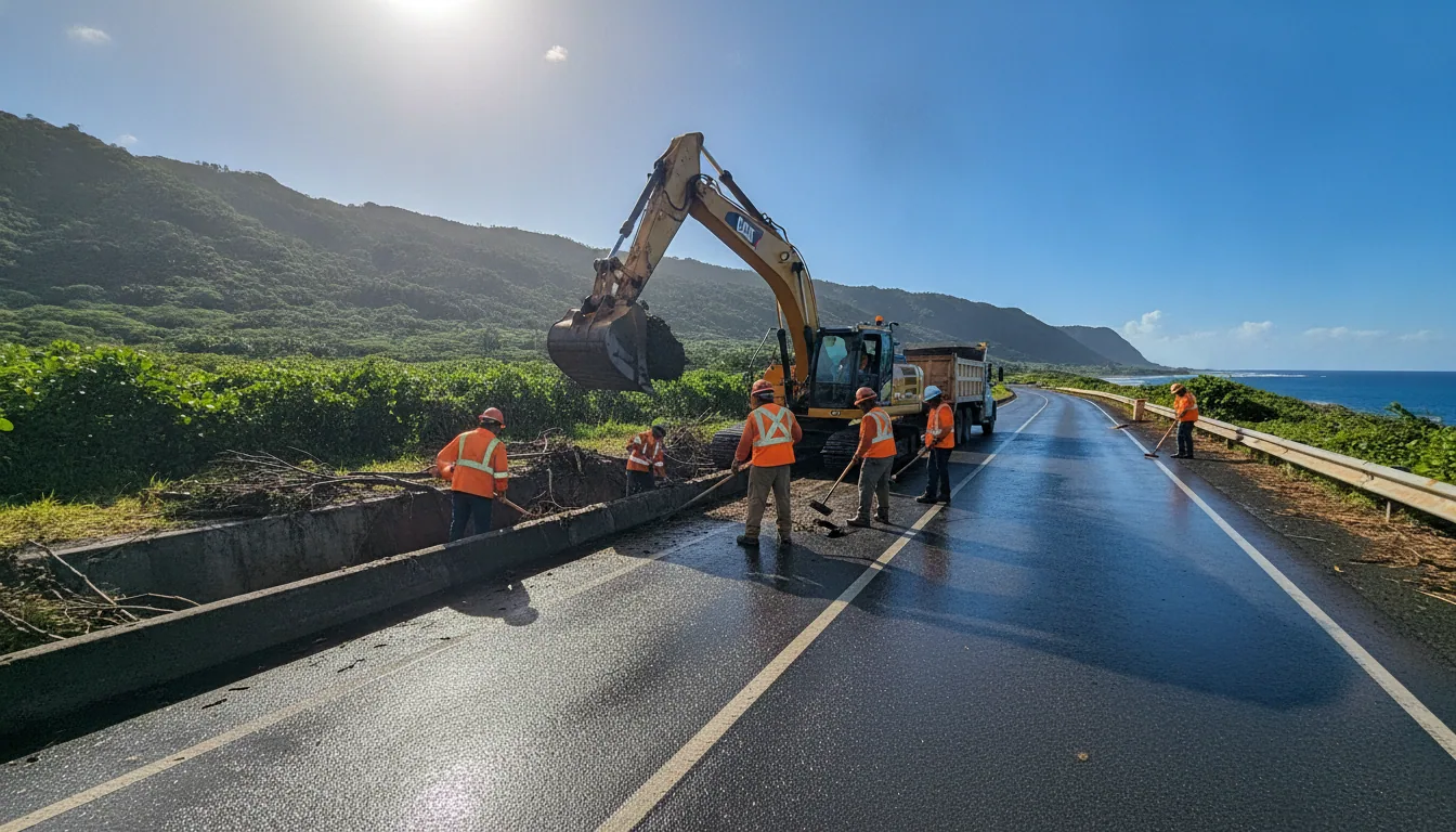
The honest scorecard shows our holiday infrastructure was built for sunshine, not for mass transit during a Level 3 Emergency. In Madrid, the road networks simply reached their physical limit. Designing smart evacuation routes that account for "return-flow" residents is the only lever that ensures the road remains a tool for survival.
Digital Fragility and Illegal Borders: The Real Infrastructure Liabilities
In central Portugal, the SIRESP network, the nation's primary emergency communication system, experienced critical failures just as the fire front advanced. It feels like a robust safety net, but the data shows it is a fragile digital link. Technology is not a lever if the signal dies when the heat rises.
Greece faced a similar breakdown with its 112 emergency alerting system during the 2026 fires in Paros and Thessaloniki. Residents reported significant delays and total communication outages. We cannot safely move 330,000 people using broken digital tools.
The physical architecture of Mediterranean coasts creates another systemic risk. Thousands of illegal buildings in Greece and Spain lack proper access roads or secondary exit routes. These are literal death traps that prevent rescue equipment from entering and residents from escaping.
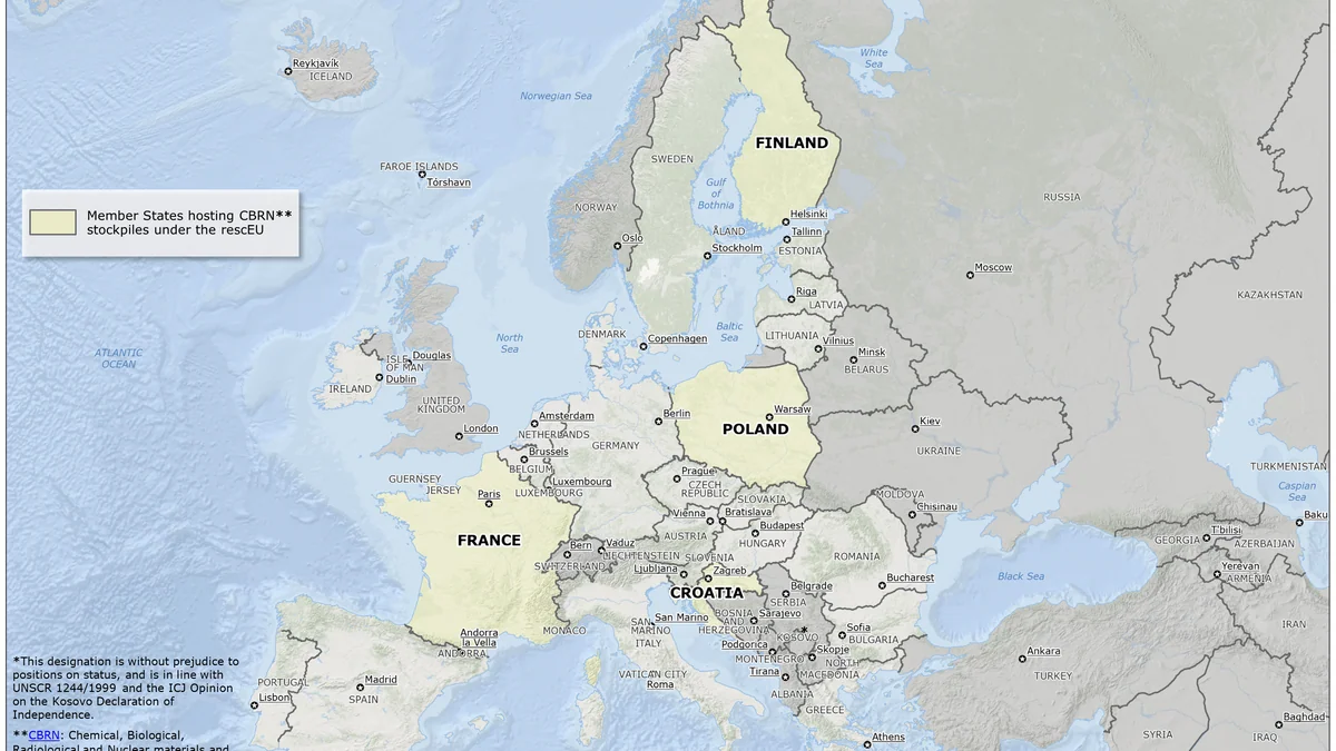
The European Union has countered the rising heat by expanding the rescEU strategic aerial fleet through 2026. It is a massive investment in shared hardware, yet a plane cannot fix uncoordinated ground signals. We are buying more wings while the ground infrastructure remains a liability.
Moving the Needle on Fire Risk
In 2025, the European Union saw 1,079,538 hectares burn, marking the most destructive season in recorded history. By July 25, 2026, the Gironde and Landes departments in France had already lost 12,500 hectares, an area roughly the size of Paris. These figures prove that "extreme" has transitioned into our recurring annual baseline for land management.
The human cost is measured in 14 confirmed deaths across Europe, reflecting the lethal speed of modern fires. Beyond the fire line, smoke pollution creates PM2.5 plumes that travel across international borders. The chemistry confirms this is a continental health crisis that respects no boundary.
Market forces are now reacting where urban planning and digital alerts have failed. Collective Risk Models are being rewritten, leading to insurance premiums that will make building in unmanaged fire zones prohibitively expensive. Insurance costs will eventually do what political policy has not by forcing a retreat from high-risk zones.
The honest scorecard for July 2026 shows 14 deaths, 330,000 people displaced, and a massive carbon spike. We must look at the physical levers that actually move the needle, starting with the Wildland-Urban Interface. European wildfires and evacuation failure will remain a threat until we enforce mandatory buffer zones and secondary access roads for every high-risk community.