The Power Cut That Drained the Taps
Before Hurricane Lala's flash flooding made a single headline about wind speeds, it had already done its quieter damage. When roughly 70% of the Big Island's power grid went dark on August 15, 2026, the consequence most residents felt first was not the dark — it was the silence from their taps. Power outages disabled the aquifer pumps that supply municipal water, triggering a conservation notice across the island.
That sequence — wind knocks out grid, grid knocks out water — is the infrastructure story of Lala. The wind was the headline; the water shortage was the failure worth understanding.
The numbers behind the outage are not small. Over 18,700 customers on the Big Island and 13,000 on Maui lost power from a storm whose center never even made landfall. Hurricane Lala's maximum sustained winds reached 75 to 80 mph, squarely Category 1 on the Saffir-Simpson Scale — not the catastrophic top-tier storm that usually justifies this scale of grid collapse.
A storm that size should not have the power to cut clean water access to tens of thousands of people. The fact that it did points directly at a structural vulnerability, not a meteorological extreme.
Island water systems run on a premise that almost nobody examines: that the electricity will stay on. When aquifer pumps depend entirely on a grid with a single exposure point to storm winds, the water supply is not a separate system — it is a downstream consequence of the power system.
That is not a force-of-nature problem. That is a design problem. Here is what actually works as a diagnosis: name the single point of failure before the storm, not after.
155 Years Between Storms: Why Lala Caught Hawaii Flat-Footed
The last time the Big Island faced a hurricane threat of this magnitude, Ulysses S. Grant was in the White House. That was 1871. The 155-year gap is not just a historical curiosity — it is a policy problem.
When no living person remembers an event, risk perception quietly erodes, and infrastructure gets built, maintained, and funded accordingly.
Hurricane Lala strengthened to Category 1 early Saturday, August 15, registering maximum sustained winds of 75 to 80 mph. At 8 PM HST that evening, its center tracked 55 miles west of South Point, close enough to drive torrential rain bands across the island without making direct landfall.
Governor Josh Green had already declared a State of Emergency the previous day, citing an "enormous" threat. The timing mattered: preparation hours are finite, and the storm did not wait.
Category 1 on the Saffir-Simpson Scale is not the apocalypse. It is, however, enough to expose every weak joint in an undertested system. Modern Big Island infrastructure was never stress-tested against conditions like these, because there were no conditions like these to test against.
The climate context explains why the models were wrong. A Super El Niño, combined with ocean surface temperatures running between 80.6 and 82.4 degrees Fahrenheit, gave Lala the energy to strengthen when forecasters expected it to weaken. Warm water is hurricane fuel; the accounting here is straightforward.
That's not a freak anomaly. It is a signal worth reading carefully, because the ocean is not cooling down.
Seventeen Inches in Twelve Hours: Hurricane Lala's Flash Flooding Emergency
The wind was never the primary weapon. Between 10 and 17 inches of rain fell on the eastern Big Island within a single 12-hour window, and forecasts warned that high-elevation areas around Mauna Kea could accumulate up to 30 inches before the storm passed. That is roughly what Tallinn receives in an entire year, deposited on volcanic slopes in one day.
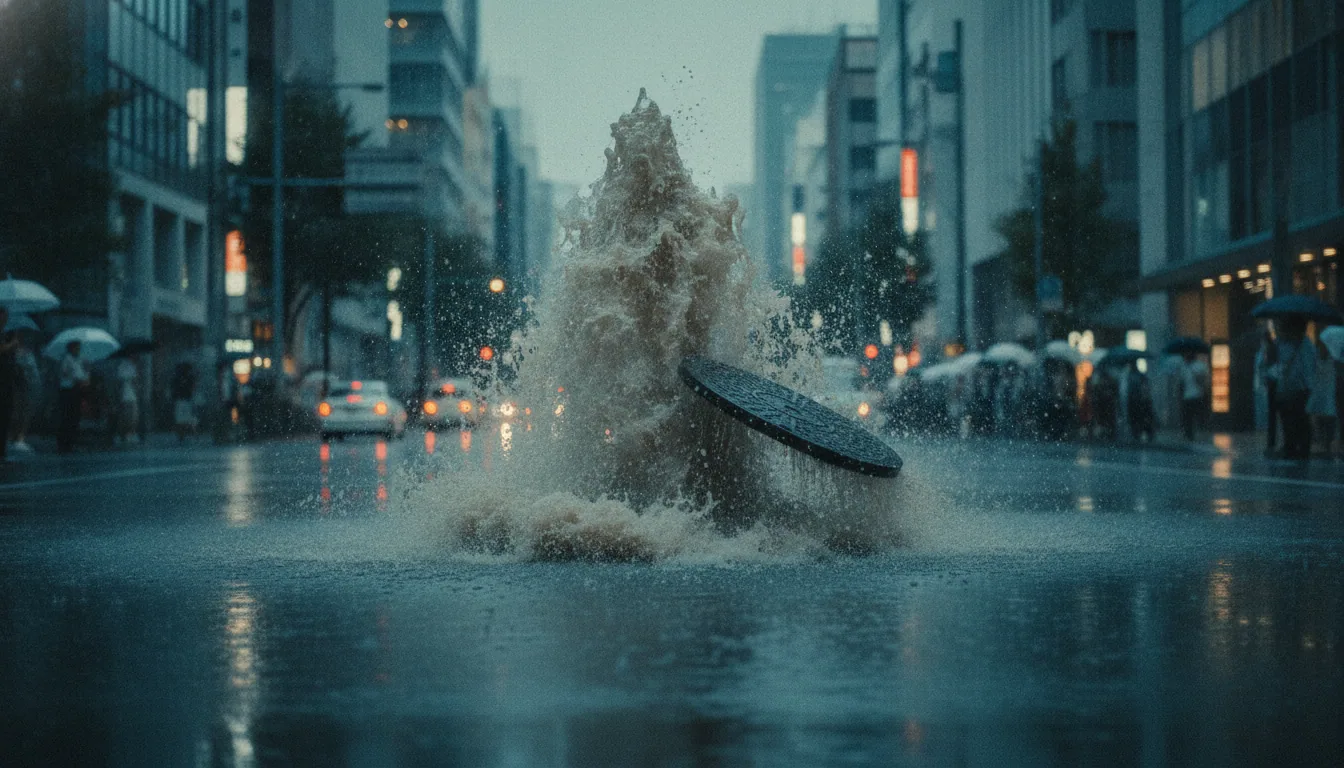
At peak intensity, rainfall in Ka'ū and North Kohala hit 2.5 inches per hour. Standard storm drain design codes in the United States are typically calibrated for around 1 inch per hour.
At 2.5, you are not testing a drainage system — you are simply bypassing it. Roads become rivers before dispatch centers can close them.
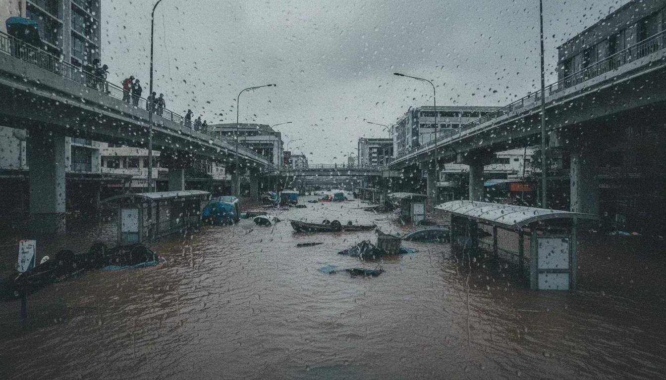
The National Weather Service issued a flash flood emergency for the Big Island and labeled it a "particularly dangerous situation," which is the highest tier of flood alert the agency uses. Those words have a specific meaning: immediate threat to life, not a forecast of possible inconvenience. High surf of nearly 20 feet on east and south-facing shores closed off coastal escape routes and complicated any water rescue.
Here is what the terrain added. Mauna Kea and Mauna Loa are not gentle hills — they are steep volcanic massifs that funnel rainfall into narrow channels with almost no natural buffer.
Water that might spread and slow on flat ground instead accelerates. That topographic multiplier is what swept two homes away.
The rain event was large. The landscape made it lethal. That distinction matters for what gets built differently next time.
What Lala Swept Away — and What It Spared
By the morning of August 15, two homes on the Big Island no longer existed. Floodwaters swept them away entirely — not wind, not surge, but the sheer hydraulic force of 17 inches of rain funneling through steep terrain with nowhere to go.
Category 1 is a wind classification. It says nothing about what water does when it moves fast enough.
Category 1 is a wind classification. It says nothing about what water does when it moves fast enough.
The storm closed both of the island's principal airports simultaneously. Hilo International went first, then Ellison Onizuka Kona International on the drier western side — the side that wasn't even supposed to take the worst of it.
For a single island with no road connections to anywhere else, that is not an inconvenience. That is economic isolation, measured in grounded cargo and stranded residents.
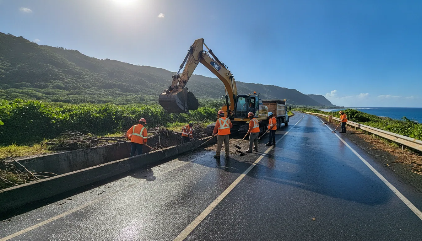
On the ground, the road network told the same story. Highways 11, 19, and 250 closed under flooding and debris — the three arteries that form the backbone of the Big Island's overland supply chain.
Trucks carrying medicine, groceries, and fuel had no route forward. The island's isolation became physical and complete.
And then the number that matters most, for now: as of August 16, no confirmed fatalities. No confirmed injuries.
Two homes lost, three highways closed, two airports shuttered, 70 percent of the grid dark — and somehow, no one died. That is the honest scorecard so far.
It is incomplete. The damage assessment hasn't happened yet, and delayed landslides on saturated slopes remain a real, unresolved risk.
The Response: 59 Rescues and the Numbers Behind the Calm
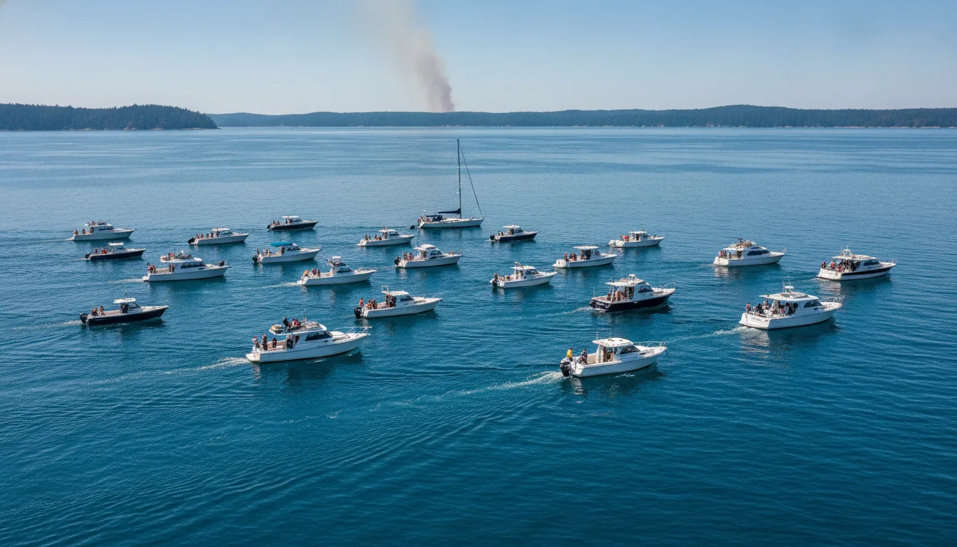
The headline number is 59. That is how many water rescues Honolulu Ocean Safety performed on Oahu during Lala's passage.
Read in isolation, it sounds like a crisis. Read against the 7,700 preventative actions the same department carried out, it sounds like a system working.
That ratio is the real metric. Comparable storms that struck unprepared coastlines in the Atlantic have produced rescue-to-prevention ratios closer to 1:10.
Oahu's 1:130 suggests that early warnings converted a significant share of potential rescues into people who simply did not enter the water. That is not a gesture. That is a lever.
The structural groundwork helped. Governor Josh Green declared a State of Emergency on August 14, a full day before Lala's closest approach, buying emergency managers time to open eight hurricane refuge areas on Oahu and coordinate Red Cross evacuation points including Baldwin High School on Maui.
Mayor Kimo Alameda's "hunker down" directive was blunt and specific — the kind of plain language that the National Weather Service backed with its own "particularly dangerous situation" designation, one of the highest-severity phrases in NWS protocol. Plain words, early enough to act on, move people.
Compare this to the infrastructure response and the contrast is sharp. Coordination on human safety held. The interdependencies between power and water did not.
The Honest Scorecard: What an Island Builds Before the Next Lala
Start with the lever that moves the most. Power outages hit 18,700 Big Island customers and immediately triggered a water conservation notice because the aquifer pumps went dark with the grid.
That is the cascade: one failure becoming two. Decoupling those pumps from the main grid with dedicated backup power — battery storage, a dedicated solar array, or a hardened diesel circuit — breaks the chain.
The engineering exists. The question is which budget line it appears on.
Distributed solar-plus-storage is the clearest double return on investment available to Hawaii right now. It lowers carbon emissions and keeps the lights on during the next storm.
Those are not two separate goals requiring two separate appropriations. They are the same kilowatt-hour, purchased once.
For an island economy that lost both major airports on August 15, resilience is not a luxury amenity. It is supply-chain insurance.
Highways 11, 19, and 250 closed simultaneously, cutting the Big Island into isolated segments. Road-network hardening in those three corridors — culvert upgrades, debris barriers, elevated road sections at the lowest flood crossings — would cost real money. It would cost less than the next closure.
The open ledger: casualty count unconfirmed, restoration timeline unknown, total damage unquantified, and the delayed mudslide risk from 17 inches of rain still pending. A storm that last threatened this island 155 years ago left modern infrastructure largely untested. The test results are now in.
Despair is just procrastination with better PR. The fixes Hurricane Lala's flash flooding exposed are known, the costs are estimable, and the 155-year gap is gone. The next budget cycle is the decision.