The 2026 El Niño: From Cold Pacific to Record Alarm in Five Months
On September 14, 2026, NOAA confirmed what the ocean thermometers had been signaling for months: the 2026 El Niño had crossed the +2.0°C anomaly threshold in the Niño 3.4 region. By mid-September, the reading stood at +2.92°C. That number needs a human translation — the Niño 3.4 region is a benchmark zone scientists chose precisely because it is climatically stable, normally fluctuating in fractions of a degree across decades.
The speed of the arrival is what stopped climate scientists mid-sentence. The Niño 3.4 index crossed into El Niño territory in April 2026, completing one of the fastest La Niña-to-El Niño transitions on record. A weak La Niña was still in place at the start of the year; five months later, the Pacific had swung past neutral and deep into anomaly territory.
Speed like that tells scientists something specific: the upper ocean was not starting from zero. It was loaded.
The UK Met Office has assessed this event as potentially the largest El Niño since the 19th century. That historical anchor matters — it pushes the comparison back past the 1997-98 "Super El Niño" and the 2015-16 event, both of which rewrote agricultural and humanitarian records in their time. A 75% probability now exists that 2026 surpasses both.
Subsurface ocean temperatures in specific equatorial Pacific zones are running more than 10°C above average, providing a heat reservoir that has not yet fully expressed itself at the surface. The alarm is not about what has already happened. It is about what is still in the pipeline.
A New Yardstick — and What It Actually Measures
Until February 2026, every El Niño got graded on the same curve as events from the 1950s. NOAA changed that when it officially adopted the Relative Oceanic Niño Index, or RONI, which subtracts the long-run warming trend before it scores the event. The practical effect: a +0.54°C gap between what the traditional Oceanic Niño Index reports and what RONI reports, because the old yardstick was measuring El Niño plus four decades of background heating stacked on top.
Strip out the anthropogenic baseline and the signal that remains is still alarming. Sea surface temperatures in the Niño 3.4 region stand at +2.92°C above average, with subsurface zones exceeding the mean by more than 10.0°C. That buried heat reservoir matters because it feeds the event from underneath, extending both intensity and duration well beyond what the headline surface number implies.
The atmosphere is coupling, confirming this is a true El Niño and not an ocean anomaly running alone. The Southern Oscillation Index, measured by Australia's Bureau of Meteorology, sat at -18.5 in mid-September. Strongly negative SOI values confirm the Walker circulation has weakened.
Here is the catch: the atmospheric response is currently running at roughly 25% of the amplitude recorded at equivalent stages in 1997 and 2015. That lag does not mean the impacts will be smaller. It means they are delayed and, potentially, front-loaded into a narrower window later in the cycle.
The headline SST number gets the attention. The Walker circulation lag is the number that will reshape the timeline.
The Crop, the Drought, and the Deluge: Who Absorbs the Cost
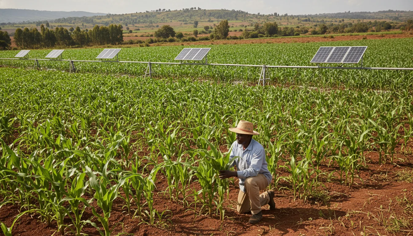
The World Food Programme estimates that up to 50 million people will face humanitarian food-security consequences over the next nine months. That number needs translating. It means families in the Philippines rationing rice portions, smallholder farmers in Zambia watching a failed maize season drain the household savings they used as a buffer, and pastoral communities in the Horn of Africa moving livestock for the third consecutive year because the rains didn't arrive.
Rice, cocoa, and coffee supply chains face simultaneous disruption risk — harvests under pressure in Southeast Asia and West Africa at the same time. A shopper in Tallinn or Toronto will not feel 50 million people's hunger, but she will likely feel a narrowing of the import shelf and prices that don't come back down when the rains eventually return. Commodity shocks from previous strong El Niños persisted 12 to 18 months past the event's peak.
The geography is radically asymmetric. California is favored for 50 to 60 percent above-normal precipitation during the 2026-27 winter — a real opportunity to recharge aquifers that the state has been overdrawing for decades, if the infrastructure exists to capture rather than just drain the surplus. Southern Africa and Australia face the mirror image: severe drought and extreme heat.
The word "global" flattens a story that is, on the ground, intensely regional. What functions as a water-storage windfall for one hemisphere is a livelihood catastrophe for another.
The honest question isn't whether El Niño is bad or good. It's who holds the bill when the redistribution settles — and right now the answer follows existing fault lines of poverty and infrastructure almost exactly.
It's who holds the bill when the redistribution settles — and right now the answer follows existing fault lines of poverty and infrastructure almost exactly.
When One Extreme Meets Three More
Picture a reef flat off Cairns in August 2026: water so warm it looks wrong, the coral pale and fluorescent under a bleaching sun, the color draining out in real time. That image is not a metaphor for this El Niño. It is a direct consequence of it, and one of several happening at once.
The WMO puts near-100% odds on El Niño persisting through at least February 2027. NOAA gives a 75% probability this becomes the strongest event on record since 1950, potentially outpacing 1997-98 and 2015-16. Those numbers do not stand alone.
Alongside the Pacific anomaly, a positive Indian Ocean Dipole — warmer sea surface temperatures in the western Indian Ocean, cooler in the east — is amplifying the signal across East Africa and South Asia. The IOD does not merely add to El Niño's effects; it creates a feedback loop, reinforcing drought in some corridors while pushing abnormal rainfall into others. Two separate ocean systems, compressing the same communities from different directions.
Beneath the surface, coral reef systems are carrying a thermal debt they cannot easily repay. The fourth global bleaching event is already underway, and the remaining safety buffer before major reef systems cross a biological threshold sits between 0.24 and 0.59°C. Half a degree is not a rounding error. It is the margin between a reef that recovers and one that does not.
This is the calculus that changes humanitarian preparedness: the sum is genuinely larger than the parts.
What Taiwan Got Right — and Why "Godzilla" Is Both Useful and Misleading
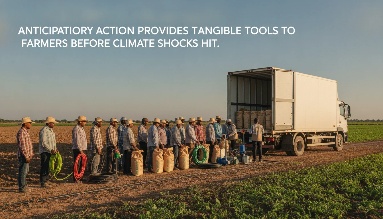
Taiwan is running mass infrastructure drills for temperatures exceeding 40°C before those temperatures arrive. That is the whole model, expressed in one sentence: convert forecast lead-time into operational preparation, not press releases. The drills cover power grids, hospital cooling systems, and emergency water supply, building muscle memory into the bureaucracy while the window is still open.
Compare that to 1997. Scientists knew an extreme event was forming, but seasonal forecast skill was too low to act with confidence nine months out.
In 2026, NOAA confirmed the +2.0°C threshold breach in April, giving governments nearly a full growing and planning season before the Northern Hemisphere summer peak. The gap between 1997 and 2026 is not the ocean — it is the forecast. Taiwan is spending that gap.
Now for the label. NASA scientist Bill Patzert coined "Godzilla El Niño" during the 2015-16 event, and the name has migrated to 2026 with full enthusiasm. It earns its place: nothing mobilizes public attention like a monster from the deep.
What it obscures is the data. The current Walker circulation response is running at roughly one-quarter the amplitude seen in 1997 or 2015 at the equivalent stage, which means the atmospheric coupling that actually delivers weather impacts is lagging the record ocean temperatures. Whether it catches up is still unknown.
The honest cost calculation is not dramatic: early-warning investment and pre-positioned emergency cooling are cheap against the humanitarian bill of non-preparation. That is not a gesture. That is a lever.
Taiwan understood the arithmetic; the question is how many governments do the same math in time.
The Honest Scorecard: What We Know, What We Don't, and What Is Worth Doing
Here is what the data actually confirms. Sea surface temperatures in the Niño 3.4 region stand at +2.92°C above the long-term average, subsurface anomalies exceed +10.0°C at depth, and the WMO places the probability of El Niño persisting through February 2027 at nearly 100%. The Southern Oscillation Index sits at -18.5, confirming atmospheric coupling has arrived.
That is the solid ground.
Here is what remains genuinely uncertain. The Walker circulation response is currently running at roughly one-quarter the amplitude seen in equivalent stages of the 1997 and 2015 events — which means the atmospheric engine has not yet matched the ocean's heat. Whether that lag resolves into full coupling over the northern hemisphere winter, or stays muted and reshapes the regional impact pattern, is the most important open question for the months ahead.
Crop yield outcomes for 2027 remain risk projections, not confirmed failures. Duration past May 2027 is unresolved.
What improved forecasting bought this cycle is measurable. The RONI adoption added 0.54°C of diagnostic clarity, separating event signal from background warming and sharpening the preparation window that humanitarian agencies needed. The 50 million food-insecure figure is an estimate — but it is an estimate agencies received early enough to pre-position.
The proportionate next steps: farmers hedge their input purchases now, before supply-chain disruption raises prices. City planners run Taiwan-style infrastructure stress tests against 40°C scenarios before those temperatures arrive. Policymakers fund the forecast systems that delivered this 2026 El Niño warning — because the alternative is not cheaper, it is just slower.