NOAA's Verdict: What "90 Percent Probability" Actually Means for the Next Six Months
On August 13, 2026, NOAA's Climate Prediction Center published a number that deserves your full attention: a greater than 90% probability that El Niño 2026 will persist as a "very strong" event through the winter of 2026-27. That is not a warning about a distant risk. That is a near-certainty about the next six months.
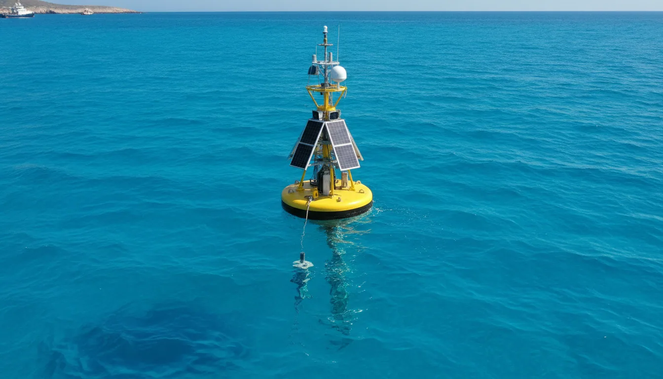
The central measurement behind that verdict is the sea surface temperature anomaly in the Niño 3.4 region - the stretch of equatorial Pacific that climate scientists use as their primary thermometer for the event. In July 2026, that anomaly stood at +2.1°C above the long-term baseline. To put +2.1°C in human terms: the entire volume of warm water sitting above the threshold right now is large enough to restructure rainfall patterns across three continents simultaneously.
Here is the number that sharpens the picture further. NOAA puts a 69% probability on this event exceeding every El Niño on record since 1950 - a classification the agency calls "historic." The qualifying threshold is a +2.5°C anomaly.
The median forecast already puts the December peak inside that range, with some models projecting +4.1°C. That gap between "very strong" and "historic" is not semantic. It is the difference between a disruption and a restructuring.
The physics are not complicated, even if the consequences are. Warmer Pacific waters weaken the trade winds, the Walker Cell circulation shifts, and the jet stream bends into configurations that flood some regions and bake others. What is different in 2026 is the baseline: subsurface ocean heat anomalies reached +10.0°C at certain depths in July, the highest on record since observations began in 1979.
El Niño does not arrive into a neutral ocean. It arrives into the warmest one humans have ever measured.
The Physics Behind El Niño 2026: How a Warm Pacific Builds Into a Global Weather Machine
Start with what is underwater. In July 2026, subsurface ocean heat anomalies reached +10.0°C at depth in the equatorial Pacific, the highest reading since measurements began in 1979.
The Australian Bureau of Meteorology confirmed that subsurface temperature indices have now surpassed every previous baseline in the observational record. That heat is not staying put.
Kelvin waves, subsurface pulses of warm water moving west to east, are transporting this energy toward the surface. As they rise, they weaken the Walker Cell, the atmospheric circulation that normally keeps warm water pooled in the western Pacific. Record-level westerly wind anomalies across the equatorial Pacific are accelerating the collapse of this circulation, effectively removing the lid from a very hot pot.
The surface signal is already measurable. Sea surface temperature anomalies in the Niño 3.4 region reached +2.1°C in July 2026, well past the +2.5°C threshold that defines a "historic" classification.
Some forecast models now place the December 2026 peak at +4.1°C. If that holds, this would be the strongest El Niño in roughly 150 years, not by a small margin.
The Pacific is not acting alone. A positive Indian Ocean Dipole is forming simultaneously, which pushes warmer-than-normal water toward eastern Africa and cools the seas off Australia and Indonesia.
The result is compounded drought risk for those two regions. Two independent climate systems are moving in the same unfavourable direction at the same time.
Here is what that combination means in practice: the atmosphere receives a double heat signal, the jet stream shifts accordingly, and regional weather patterns downstream, from rainfall in East Africa to drought in Southeast Asia, are amplified beyond what either system would produce on its own. The physics are not complicated. The consequences are.
Already Happening: The Signals Visible on the Ground Right Now
The numbers from NOAA tell one story. The evacuation buses in Shanghai tell another, and they say the same thing.
When Typhoon Dolphin made landfall in August 2026, more than one million people were moved out of harm's way - the kind of logistics that governments only run when the threat is real and the window is short. A supercharged Pacific, sitting on water temperatures running 2.1°C above normal, fed that storm more energy than the historical baseline would have allowed.
Al Dhafra, in the United Arab Emirates, recorded 51.2°C this summer. That number sits at the edge of what unprotected human physiology can survive.
The easy response is to call it an anomaly. The accurate response is to call it a data point in a pattern that El Niño will now intensify for the next 18 months.
Here's what actually works as a frame: neither of these events is a preview. They are chapter one.
The physics described in the previous section - record subsurface heat, collapsed Walker circulation, record-setting westerly wind anomalies - does not produce a single spike and then stabilise. It produces a sustained shift in where rain falls, where it does not, and how much energy moves through the storms in between.
The machinery is already running. The question for every farmer, logistics manager, and policymaker reading this is not whether disruption is coming. It is how much lead time they still have to act on it.
The rest of us can stop treating a 69% probability of a record-shattering event as someone else's contingency.
Food Prices, Farm Yields, and the Logistics Squeeze: The Household Arithmetic
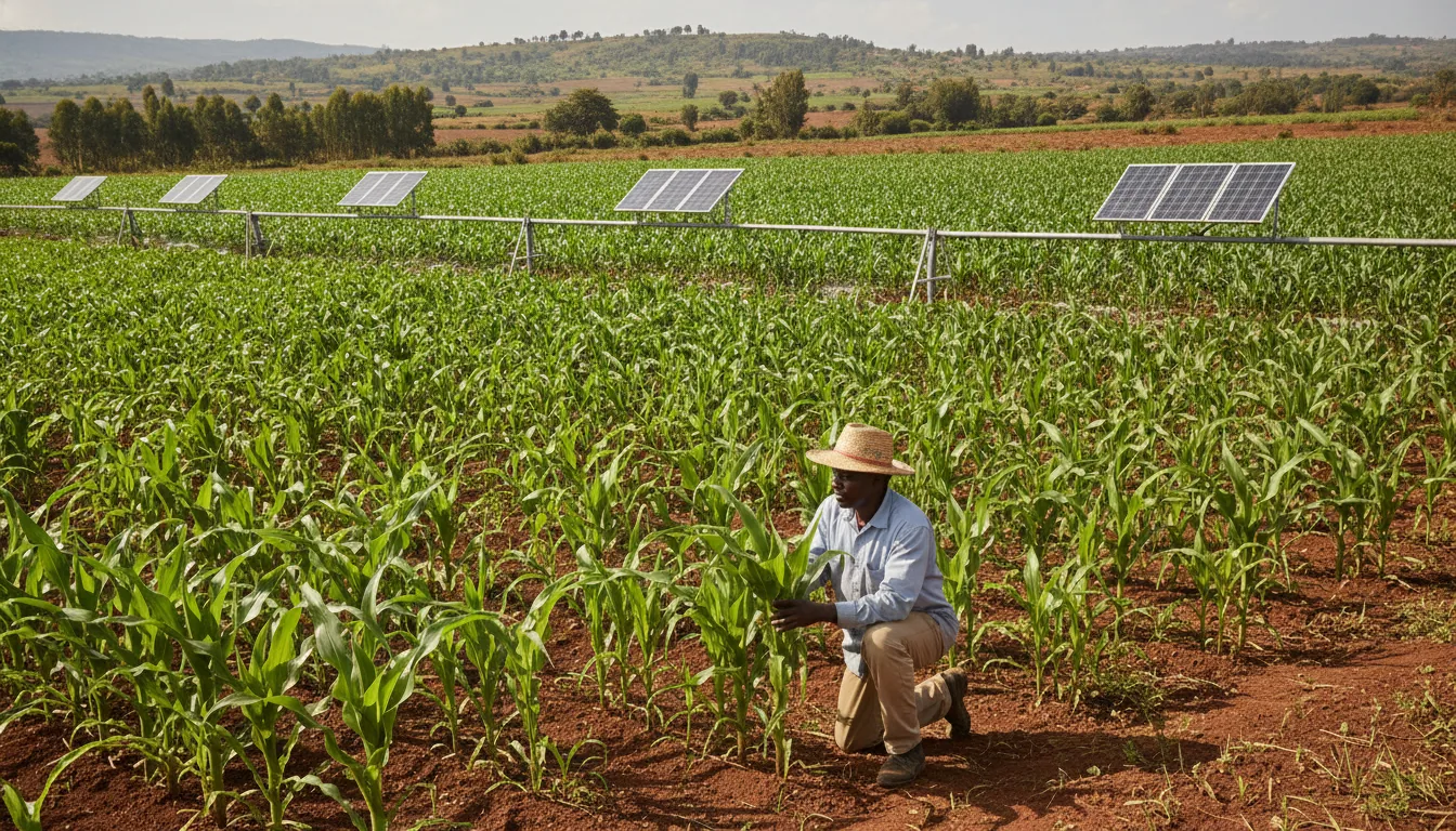
Picture a smallholder coffee farmer in the Peruvian highlands in November 2026. The river below her farm has swelled to a brown torrent, her access road is gone, and the cherries she picked last week are rotting in a warehouse she cannot reach.
Three thousand kilometres north, a soy farmer in the Brazilian Cerrado is watching the sky for smoke. Neither of them set the price on your grocery shelf. Both of them just moved it.
Here is what the arithmetic looks like from the outside. Global agricultural production is estimated to fall 14.3% as El Niño disrupts growing seasons across three continents simultaneously.
Global food prices are projected to rise between 10% and 50% - a range that wide is not vagueness, it is honest uncertainty about which end of the curve we land on. For an ordinary household spending 15% of its income on food, a 30% spike is a real budget line, not a statistic.
The geography of disruption is specific. East Africa, the west coast of South America, and the southern United States face severe flooding - damaging crops in the field and washing out the roads needed to move them.
The Amazon, meanwhile, enters its driest months, October through December, precisely when El Niño peaks. "This will be a period of extreme vulnerability for the forest," researchers have warned. Drought and fire feed each other; smoke closes navigable rivers; rivers closed means grain that cannot move.
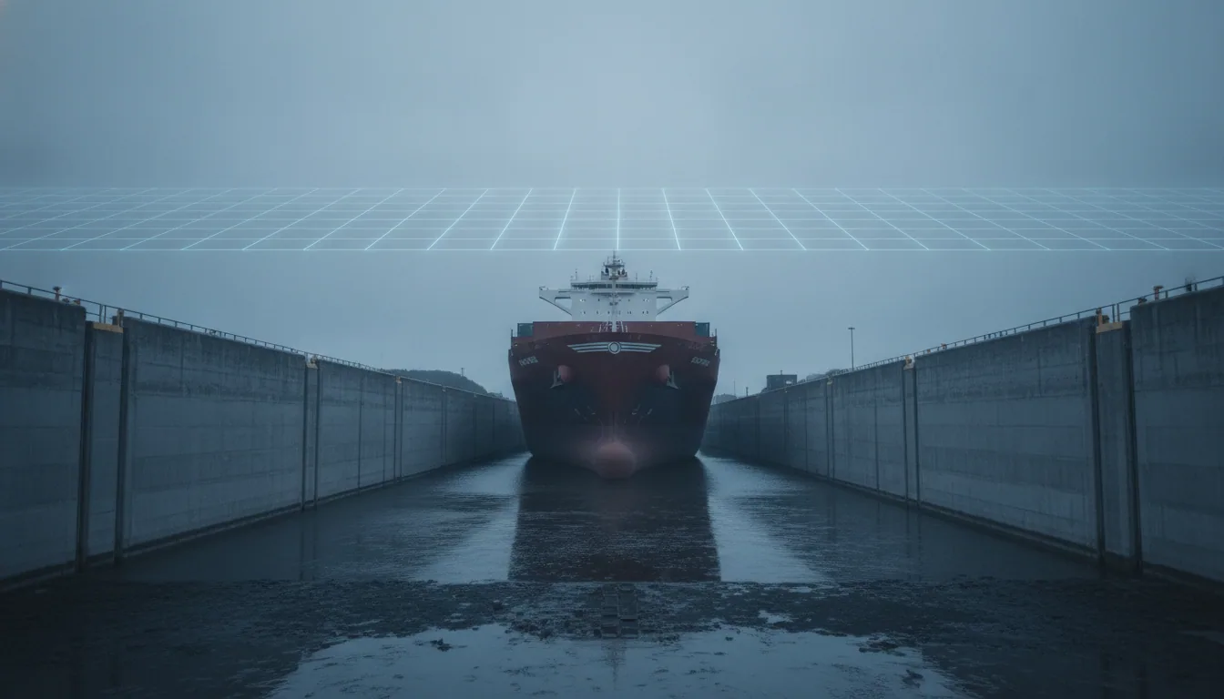
Then there is the canal. Central America faces intensifying drought conditions, and the Panama Canal - already a choke point - loses draft when the lakes feeding it run low.
Every extra day a Panamax bulk carrier waits at anchor adds a logistics premium that eventually lands on your flour or your fertiliser bill. That is not a metaphor. That is a supply chain with nowhere to hide.
The disruptions are not uniform, and they are not inevitable at their worst. But they are already in motion.
The Honest Scorecard: What Is Actually Working, What Is Not, and What Is Worth Doing
Compare 1997-98 to now. Twenty-nine years ago, the most destructive El Niño on record caught most governments mid-stride. Lead times were measured in weeks.
Today, NOAA confirmed the 2026 event's trajectory months before its peak, with a 90% probability estimate that any insurance actuary would act on immediately. That is genuine progress. The forecast has outrun the preparation, which is the part that still needs work.
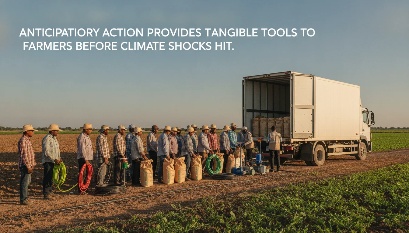
Here is what actually works. Drought-tolerant crop varieties are commercially available and proven in the field - Kenya, India, and parts of Brazil have used them at scale for a decade.
Index-based agricultural insurance, which pays out automatically when rainfall drops below a trigger level, has protected smallholder farmers in Ethiopia and Bangladesh without requiring costly loss-adjustment visits. Pre-positioned food reserves, when funded and managed well, as the WMO coordination framework supports, have blunted the worst price spikes in past events.
These are levers, not gestures. The problem is that none of them are universal. In large parts of Central America and Southeast Asia they remain pilot programs, not infrastructure.
For European and Estonian consumers, a 10-50% food price shock is now a planning variable, not a surprise. Supply-chain diversification decisions made in the next six months will determine how much of that range actually lands in a household grocery bill in 2027.
Governments and retailers that source from multiple climate zones will absorb the hit better than those that relied on a single corridor. That is not a radical insight. It is the lesson every logistics analyst drew from 2022. Whether it was learned is a separate question.
The honest scorecard on El Niño 2026: early-warning systems improved, preparation has not kept pace, and the tools to close that gap already exist. The one move that is not theatre is funding and enforcing regional early-warning response networks - now, before the December peak, not in the damage assessment afterward.
That work belongs to policymakers and multilateral funders. The rest of us can stop treating a 69% probability of a record-shattering event as someone else's contingency.