The 2026 Super El Niño is a projected climatic shift where central Pacific sea surface temperatures rise more than 2.0 °C above historical averages, triggering global weather disruptions, including failed monsoons in Asia and record rainfall in the Americas. NASA and NOAA data suggest this event will likely peak in late 2026, potentially becoming one of the strongest oceanic heat releases in 150 years of recorded history.
Imagine you are looking at a satellite map of the tropical Pacific. Everything looks normal until you notice the water is not quite where it belongs. In June 2026, NASA instruments spotted a distinct anomaly: the sea level was rising as if the ocean were taking a deep, swelling breath.
On June 11, 2026, NOAA formally issued an El Niño Advisory. This was not just a routine weather update; it was the moment a quiet shift in the deep water became a global headline. Why does the sea level rise first? It is a matter of thermal expansion, the physical law that warm water takes up more room.
Think of the Pacific like a liquid thermometer the size of a continent. This is not just a minor wobble in the daily tides. The scale of the rise suggests a massive pulse of energy is surging eastward, headed straight for the coast of South America.
In the world of climate monitoring, this bulge of water is the first "tell" in a high-stakes game. It means the internal machinery of our planet has suddenly shifted its gears. Now hold that thought, because what started as a quiet swell is about to change everything about the year ahead.
The Invisible Slosh: How a Kelvin Wave Moves a Planet
Think of the Pacific Ocean as a massive, unbalanced bathtub. Normally, strong trade winds push warm water to the west, stacking it up near Indonesia. When those winds falter, that hill starts to collapse back toward the Americas in a slow, underwater landslide of energy.
This is where we meet the Kelvin wave, a subsurface heat pulse. This is not a wave you would notice from the deck of a boat because it travels hundreds of feet below the surface. It moves as a deep-sea bulge of warm water, sliding eastward across the basin like a slow-motion pulse through an artery.
As this warmth moves, the atmosphere reacts. On June 7, 2026, the Southern Oscillation Index (SOI) was measured at -21.7. Think of the SOI as a sensitive pressure gauge measuring the relationship between the sea and the sky.
A negative number this low indicates strong coupling. This means the ocean and atmosphere are now locked into a feedback loop, reinforcing each other’s behavior. The trade winds are being dismantled by the very heat they usually keep in check.
To someone standing here in 1610, this would have been indistinguishable from magic. Today, we know it is a massive oceanic Kelvin wave moving subsurface heat toward the eastern Pacific. It is the planet shifting its weight and releasing years of stored solar energy in one giant, global breath.
The Two-Degree Threshold
Meteorologists use a specific patch of water called the Niño 3.4 region as a planetary thermometer. A rise of half a degree usually signals a standard El Niño, but the latest data for 2026 suggests we are aiming much higher. The UK Met Office predicts sea surface temperatures will climb more than 2.0 degrees Celsius above the historical average.
That sounds like a small number, perhaps the difference between a slightly cool bath and a warm one. On a planetary scale, a two-degree jump across millions of square miles of ocean represents a staggering amount of energy. It is the literal fuel for the global disruptions to come.
This event could potentially become the strongest El Niño in 150 years of recorded history.
There is currently a 63 percent probability that we will reach this "very strong" status by late 2026. This is the threshold where the weather starts rewriting the global playbook. It turns typical rainy seasons into landscape-changing deluges and numbers into something we feel on the ground.
Now hold that thought. To someone standing here in 1610, this would have been indistinguishable from magic, but today we recognize a massive pressure release valve for oceanic heat. We still do not know exactly how high the peak will go, and that is the best part.
Fuel on the Fire: The 2026 Super El Niño and the Warming Baseline
Climate scientists often speak in dates that sound like ghosts. Mention 1982-83, 1997-98, or 2015-16 to a meteorologist and they will describe the color of a drought-stricken field. These were the legendary previous events, and 2026 is now stepping into that same spotlight, but the stage itself has changed.
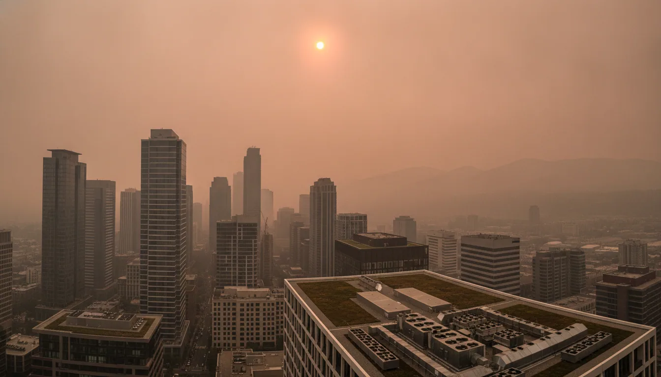
James Hansen, a researcher at Columbia University, has flagged that 2026 is on track to become the warmest year ever recorded. While the Pacific prepares its own performance, it is doing so on a planet that is already significantly hotter than it was during those previous historical peaks. Scientists describe El Niño as a massive "pressure release valve" for the planet.
For years, the Pacific acts like a giant battery, soaking up excess solar heat and storing it deep below the waves. Eventually, that storage capacity is reached and the heat is dumped into the atmosphere all at once. The World Meteorological Organization warns this event will "pour fuel on the fire" of existing human-caused warming.
It is no longer just a shift in the winds. We are watching a record-breaking atmospheric reset occur on a world that has already lost its cool. Some models suggest this could even be the strongest event in 150 years. We are no longer just measuring a weather cycle; we are watching the planetary thermostat struggle to keep up with its own history.
A Global Atmospheric Reset
The Pacific Ocean is the atmosphere’s heavy-handed conductor. When it changes its tune, every other weather system on Earth must find a new rhythm. This is a teleconnection, which acts like a long-distance phone line connecting a heat pulse in one ocean to the winds in another.
While a "Super El Niño" sounds like a recipe for total global chaos, it actually acts as a temporary bodyguard that helps suppress the Atlantic hurricane season. Vertical wind shear, a fierce high-altitude wind, snips the tops off developing hurricanes like a giant pair of invisible scissors.
Across the northern frontier, the 2026 forecast looks less like a blizzard and more like a long, damp autumn. northern regions of the United States and Canada expect warmer winter conditions as the jet stream shifts its weight and locks Arctic air away. We exchange the fury of a hurricane season for a muddy, mild January in northern cities like Toronto or Tartu.
This is the atmospheric reset, a massive planetary redistribution of heat. Now hold that thought while the Pacific decides which regions stay cool and which must sweat.
The Human Price of the Kelvin Wave
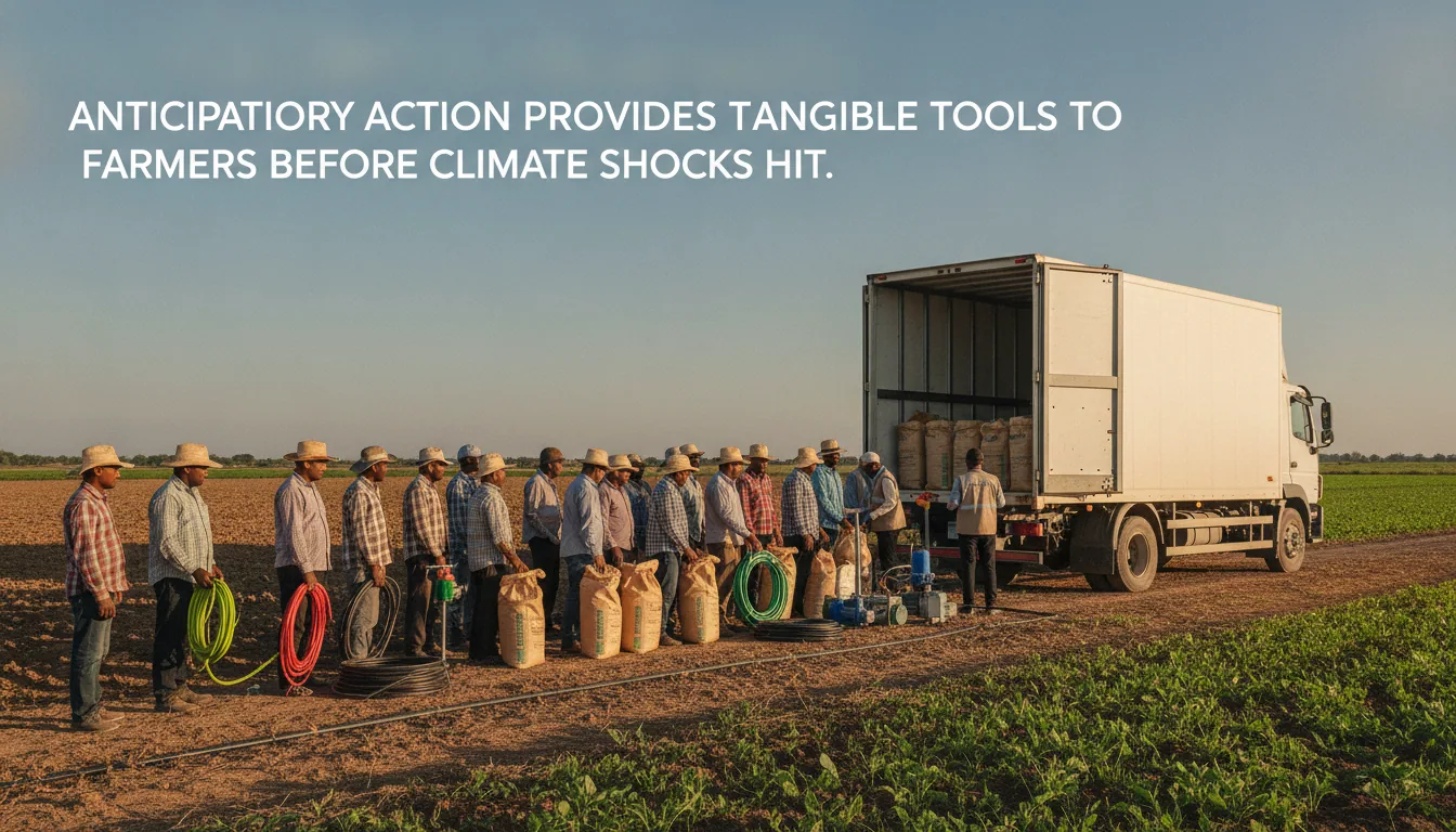
A surge of warm water moving deep below the central Pacific eventually dictates whether a farmer in New South Wales can keep his land. It is a massive planetary mechanism where a shift in one cog moves everything else. In Australia and South Asia, major disruptions to agriculture are expected as the South Asian monsoon fails to arrive.
This is not just a light drizzle. It is a fundamental breakdown of the moisture cycle that billions of people rely on for food. To someone standing in a dry field in 2026, the absence of rain will feel like a personal betrayal by the sky.
Now hold that thought and look across the Pacific. While the west parches, the east prepares for the deluge. Increased flood risks are projected for California, the southern United States, Peru, and Ecuador.
The pressure release valve of the ocean sends a firehose of tropical moisture toward the coast. The water that should have fed rice paddies in Asia instead washes away roads in South America. Agricultural disruptions from El Niño historically contribute to global food inflation.
When the harvest fails in one hemisphere, the price of bread rises in the other. The number of lost tons is often so large it stops meaning anything, so look at your grocery receipt instead. We still don't know the final bill for 2026, but it reminds us that our modern world is still tethered to the temperature of the sea.
The Unanswered Horizon
The World Meteorological Organization estimates an 80 to 90 percent likelihood that these El Niño conditions will persist through the end of 2026. This is not a passing storm; it is a fundamental shift in the planet’s energy map. Despite our wall of sensors, we still don't know the exact peak of this event’s intensity.
Models range from "strong" to "unprecedented," leaving us to wait as the heat continues to climb. To someone standing here in 1610, this global chain reaction would have been indistinguishable from magic. Today, we call it teleconnection—the invisible thread linking a warm Pacific current to a drought in an Australian wheat field.
This 2026 Super El Niño is a massive pressure release valve for the entire Earth. It reminds us that we don't just live on the world, but inside a tightly wound system. What happens when the gears are pushed harder than ever before? We are still learning the rules of this new, warmer game.