A Wall of Debris, a 5.2-Magnitude Signal, and 903 Dead: What Happened on August 26
The cameras at the Gyirong crossing were still recording when the Himalayan infrastructure crash arrived. Seconds earlier, there had been vehicles on the road, traders, ordinary movement across one of the highest-altitude border crossings on Earth. Then the debris wall hit.
What the CCTV footage captured on August 26, 2026, was not a landslide in any conventional sense — it was a kinetic event so concentrated and so fast that the human mind struggles to categorize it as natural.
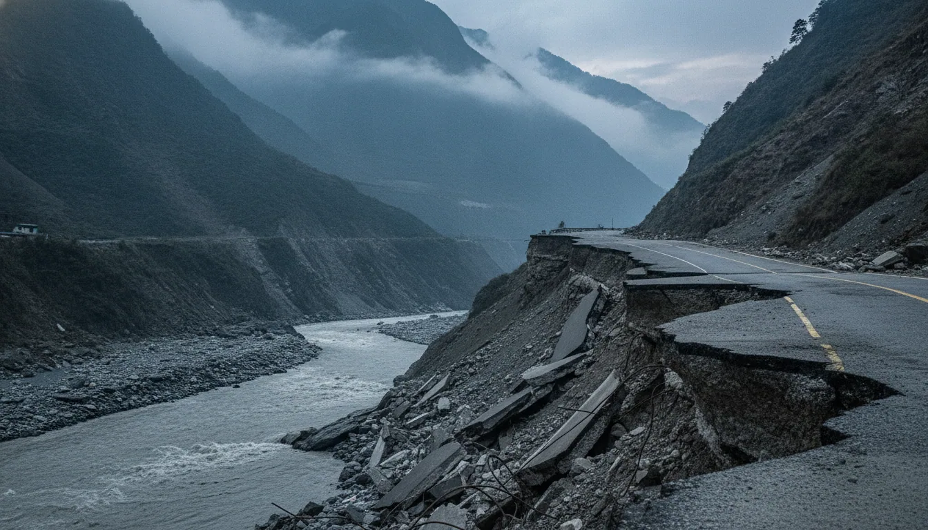
The trigger was a massive glacier and rock collapse in Nepal's Langtang region, generating a seismic signal measuring 5.2 in magnitude. That number matters less as a geological data point than as a marker of scale: this was not a local tremor but a landscape-level failure. The resulting "Himalayan tsunami" of mud, ice, and debris swept downstream with a force that emergency response frameworks — designed for floods, for tremors, for fires — were simply not built to absorb.
By August 31, 903 people were confirmed dead and over 1,000 remained missing. Across the border, the Gyirong Port — the primary land gateway connecting Tibet to Nepal — lay buried.
The speed of destruction was the cruelest variable. Conventional disaster response assumes hours, sometimes days, for intervention. Here, entire communities and critical infrastructure vanished before any coordinated action was structurally possible.
What makes this event analytically significant is precisely that contradiction: a corridor built to showcase modern connectivity, equipped with cameras and sensors, rendered catastrophic evidence of its own vulnerability in a matter of seconds. The infrastructure recorded its own erasure.
430 to 748 Megawatts Gone: The Energy Shock Behind the Headline Death Toll
Nepal's energy infrastructure did not suffer a setback on August 26, 2026. It suffered an amputation.
Between 12 and 14 hydroelectric plants were damaged or destroyed in a single geological event, erasing between 430 and 748 megawatts of installed power capacity. That range is not imprecision — it reflects how rapidly the damage assessment is still unfolding across a corridor that remains physically inaccessible.
The projects affected are not marginal installations. Upper Trishuli 3A and Chilime were among the confirmed casualties, plants that represented years of investment and formed load-bearing pillars of Nepal's domestic energy supply. Their loss is structural, not the kind of gap that emergency diesel generators or regional grid borrowing can meaningfully fill in the near term.
What the disaster exposed is a design vulnerability that was hiding in plain sight. Run-of-the-river hydropower, Nepal's dominant generation model, concentrates infrastructure along the very river valleys most exposed to glacial debris flows. If the geological corridor is unstable, the entire energy portfolio along it is simultaneously at risk.
One event, one geological corridor, hundreds of megawatts — gone.
The comparison with Sikkim's 2023 GLOF, which destroyed the 1,200 MW Teesta III dam, sharpens the pattern. These are not isolated catastrophes. They are recurring proof that high-altitude run-of-the-river systems are being systematically outpaced by accelerating glacial instability.
For Nepal's energy planners and their Chinese counterparts financing much of this infrastructure, the strategic question is now unavoidable: how do you build resilience into a grid whose geography is actively working against it?
The infrastructure recorded its own erasure.
The Severed Silk Road: Gyirong Port, the Miteri Bridge, and the Belt and Road's Himalayan Gamble
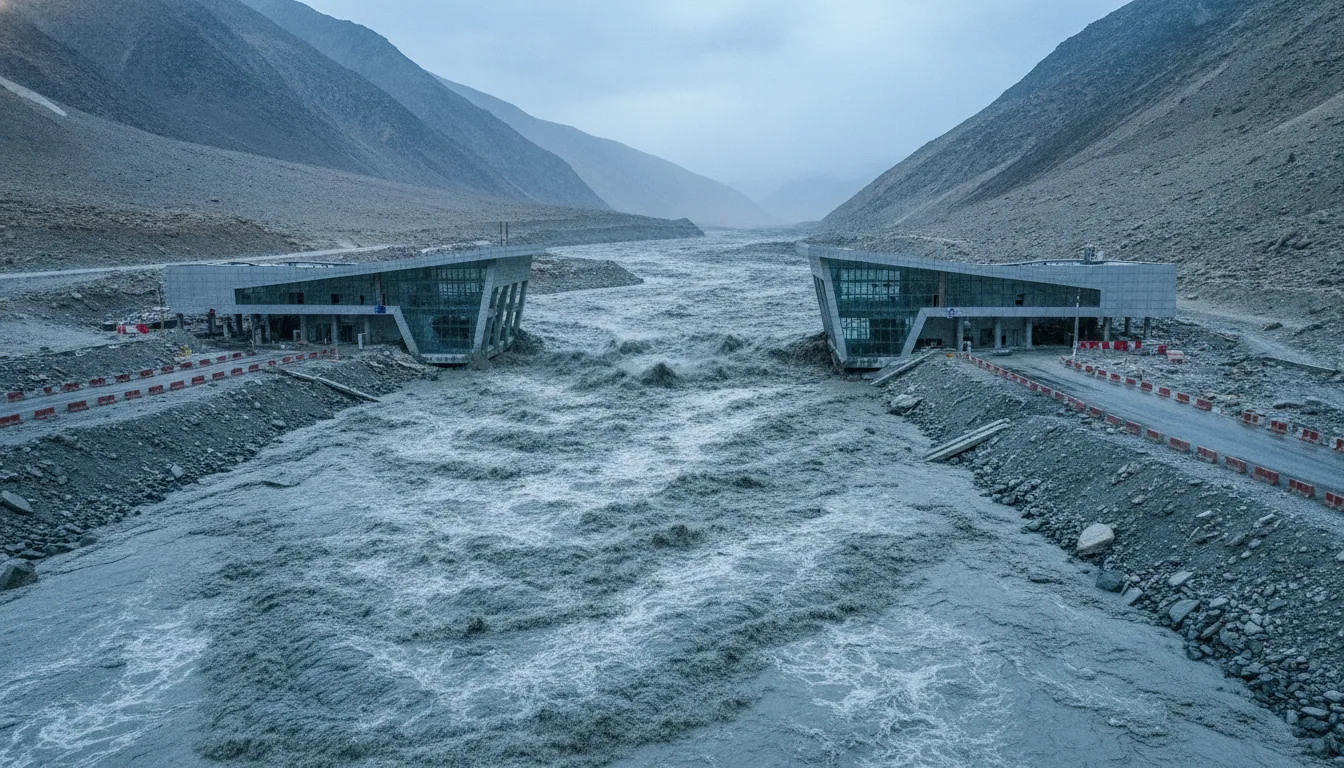
The Gyirong Port did not close. It was erased. CCTV footage captured the moment a wall of debris struck the crossing, tossing vehicles like discarded packaging before the feed went dark.
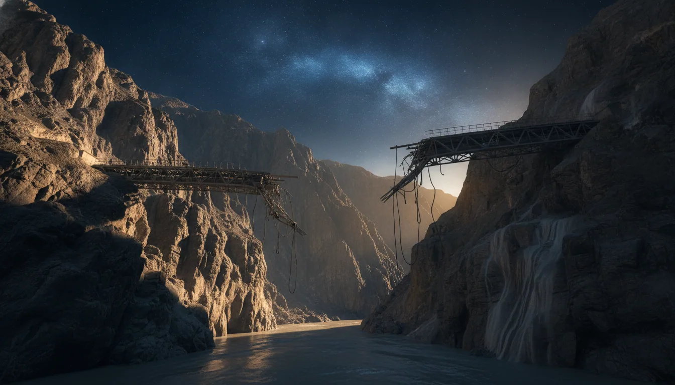
When the mudslide receded, both Gyirong Port and the Miteri Bridge — Nepal's primary overland trade artery into China — were gone.
For a landlocked nation with limited overland access to global markets, this is not an inconvenience. It is a structural rupture. Nepal's bilateral trade with China depends on a narrow set of high-altitude crossings, and the loss of Gyirong Port severs the most operationally significant one. The practical consequence is immediate: traders have no corridor, and no timeline for its return.
What makes this worse is the scale of what was being built. Belt and Road Initiative projects in this corridor — cross-border power transmission lines, planned railway connections between Kathmandu and Lhasa — are now derailed indefinitely.
These were not speculative drawings. They were active investments that had already begun delivering measurable returns to communities along the route. As Northeastern University's Daniel Aldrich observed, "this connectivity has brought real economic benefits to the region."
The logic of single-point dependency is now laid bare. China's BRI investment calculus, optimized for political velocity and economic reach, systematically underpriced a category of risk that geologists had long flagged: that the terrain itself, young, seismically active, and increasingly destabilized by glacial retreat, is not a neutral platform for infrastructure.
If Gyirong is rebuilt along the same design assumptions, what changes? The mountain's behavior certainly will not. The strategic question for both Kathmandu and Beijing is whether reconstruction means restoration, or whether it demands a fundamentally different model of cross-border connectivity.
Not a Single Black Swan: The Himalayan Failure Pattern From Sikkim to Joshimath
On the morning of October 4, 2023, the South Lhonak glacial lake in Sikkim breached its moraine dam and sent a catastrophic wall of water down the Teesta River valley. It struck the 1,200 MW Teesta III dam — one of India's most significant hydroelectric assets — and erased it. Between 92 and 179 people died.
Fifteen bridges vanished.
The water did not discriminate between concrete and steel. It simply moved through what engineers had placed in its path, as if the mountain were correcting an error.
Six weeks later, 41 workers found themselves sealed inside the partially constructed Silkyara-Barkot tunnel in Uttarakhand, where a sudden collapse had swallowed the exit. They remained there for 17 days while rescue teams debated methods, including rat-hole drilling, to reach them.
Meanwhile, the town of Joshimath was sinking. Between 2022 and 2024, the ground beneath it subsided by more than 30 centimetres — not in one dramatic moment, but slowly, relentlessly. Over 800 buildings cracked.
Residents watched walls split open while administrators debated whether to declare an emergency.
These are not separate stories. They form a behavioral sequence: a mountain range presenting the same institutional failure in different geological dialects. Fragile terrain, accelerated by warming, meeting infrastructure logic designed for stable lowland conditions.
The warning was not a single black swan arriving without notice. It was a pattern, repeating itself across Sikkim, Uttarakhand, and the slopes above Joshimath, each event slightly larger than the last.
By August 2026, the Himalayas had been signaling for years. The question is whether Kathmandu and Beijing were listening — or whether the economic calculus of the Belt and Road simply made silence more convenient.
Two Hundred Ticking Lakes: The Science That Development Plans Chose to Ignore
The warnings were not hidden. They were published, indexed, and circulated through the very institutions that those advising governments now claim to respect.
ICIMOD had identified over 200 glacial lakes in the Himalayan region at critical risk of outburst flooding, each one a measurable liability on a map that planners chose to treat as background noise rather than binding constraint. The August 2026 catastrophe did not emerge from the unknown; it emerged from the deliberately ignored.
WMO data confirms that 2022 to 2024 recorded the highest glacier mass loss in measured history. That is not a projection — it is a baseline that should have triggered immediate revision of high-altitude engineering standards. Standard infrastructure models used across Belt and Road corridors were not designed to integrate accelerating permafrost degradation or compound melt-rate variables; they were designed for stable geological assumptions that the Himalayas have not satisfied for decades.
The historical analog is instructive. The 2023 South Lhonak outburst in Sikkim destroyed the 1,200 MW Teesta III dam — a project built with full awareness of glacial lake risks in the drainage basin above it. That event produced neither a regulatory pause nor a redesign mandate.
Economic growth targets, as Prof. Prakash observed in The Guardian, consistently overrode geological safety thresholds at the planning stage. If Sikkim was a warning shot, the Langtang collapse was the bill arriving.
What separates scientific failure from institutional failure is the decision point in between. The data existed; the models flagged the hazard; the timelines were known. The question now facing both Kathmandu and Beijing is whether rebuilding the corridor will finally begin with geology — or end, again, because of it.
After the Himalayan Infrastructure Crash: Rewriting the Risk Architecture
The evidence does not permit optimism without conditions. Between 2023 and 2026, the Himalayas erased a 1,200 MW dam in Sikkim, sank a town in Uttarakhand by 30 centimetres, and destroyed 430 to 748 MW of hydroelectric capacity in a single August morning.
ICIMOD has mapped over 200 dangerous glacial lakes in the region. Each one is a contingent liability that no current lending framework prices correctly.
Run-of-the-river hydropower, built on the assumption of stable seasonal flows, is structurally misaligned with a warming mountain system. If WMO data confirms that 2022 to 2024 marked peak glacier mass loss globally, then infrastructure financed against pre-2020 hydrological baselines is already mispriced. International lenders, from development banks to private insurers, must integrate GLOF probability and permafrost degradation indices as binding conditions, not advisory footnotes, in high-altitude project approval.
Nepal's single-corridor dependency on the Gyirong crossing is not geography. It is institutional behavior that chose convenience over resilience. The strategic question now is not whether the mountains are changing — the data settled that debate years ago.
After the Himalayan infrastructure crash of August 2026, the question is whether Kathmandu, Beijing, and Brussels will redesign their risk architecture before the next lake decides for them.