The Seismograph Lied — or Rather, It Told a Different Kind of Truth
At 5:47 on the morning of August 26, 2026, seismographs across the Himalayan monitoring network registered a magnitude 5.2 event near the Nepal-China border. The duty officers would have reached for the earthquake protocols. Here is the strange part: the ground was not moving the way rock moves when tectonic plates slip. Something heavier, and in some ways more dangerous, was already in motion.
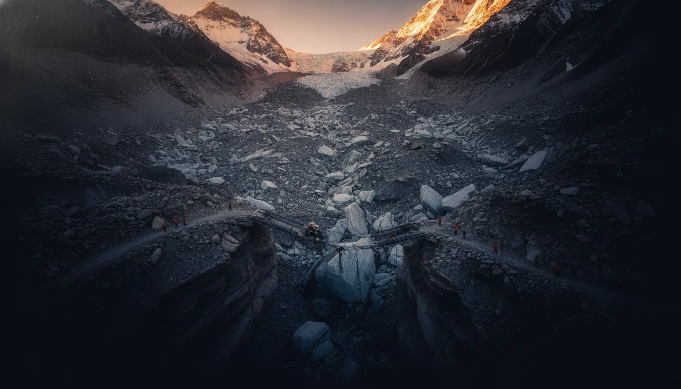
What the instruments had caught was a mountain falling. A glacier-and-rock avalanche near the border had released, and when avalanches of that scale meet a river valley, the seismic signature is almost indistinguishable from a modest earthquake. The science even has a name for this: seismic triggering, the use of earthquake-detection networks to identify non-tectonic mass movements like rockslides and collapses. The same instrument, reading two completely different disasters.
The avalanche landed in the Lhende Khola, a tributary river, and blocked it. ICIMOD, the mountain-science body that reconstructed the sequence of events, identified this as the trigger point. A blocked river does not stay blocked politely; water piled behind the debris dam until it could not pile any further. By the morning of August 26, a wall of water was already tearing through the Bhote Koshi gorge and slamming into the Rasuwagadhi border post. The question the seismograph could not answer was the one that mattered most: how much water, and how fast.
How Ice Becomes a Catastrophe: The Cascade Nobody Planned For
A glacial lake outburst flood begins with a blockage. An avalanche — rock, ice, or both — crashes into a river valley and plugs it like a thumb over a garden hose. Water backs up behind the debris. Then the dam fails, either in minutes or days, and everything that accumulated pours through at once. Glaciologists call this a GLOF; the name is clinical, but the physics is brutally simple: a bathtub with no floor.
What makes a GLOF different from a river in flood is not just volume but cargo. The water that burst from the blocked Lhende Khola on the morning of August 26 was not clear. It was a slurry of ice fragments, shattered rock, construction materials, vehicles, bridge sections, and — as recovery teams would later confirm — human remains. That mixture reached Chitwan, 240 kilometers downstream, and crossed into Indian territory before it was done. A river moves fast; a debris flow moves like a slow, grinding fist.
The disaster, as Kamal Kishore of the UN's disaster risk office put it plainly, is not yet completely over.
This is the meaning of "cascading hazard," and the phrase deserves precision. It does not mean one big disaster. It means one disaster that unlocks the next, each arriving with a different signature and a different clock. The avalanche created the dam; the dam created the lake; the lake released the flood; the flood carved the valley into something unrecognizable. And then the cascade did something almost perverse: it created another dam. Near the Tibet border, a new barrier lake has formed from the same collapsed material, sitting full and unresolved — and whether it will hold is a question no one has answered yet.
919 Confirmed, 4,700 Still Missing: The Shape of an Unfinished Count
Numbers do real work in a disaster. They tell you the scale of a thing, help coordinate response, and eventually, when the mud dries, become the official record of what happened. But the numbers coming out of Nepal five days after the Himalayan flooding event are doing something harder: they are describing a catastrophe that has not finished revealing itself.
As of August 31, 2026, the National Disaster Risk Reduction and Management Authority confirmed 919 deaths. That figure is not the death toll. It is the confirmed death toll — the count of people whose deaths have been established with enough certainty to enter the official record. Behind it sits a much larger number: approximately 4,700 people reported missing, with 4,247 specific cases under active investigation. Each of those cases represents a name, a family, a consulate somewhere waiting for a callback.
That last point matters. Nearly 600 of the missing are foreign nationals, from 27 different countries. This is not a local tragedy anymore in the logistical sense. It is a global consular crisis, playing out in embassies from Kathmandu to Seoul.
Upstream, China has confirmed 16 deaths and more than 546 missing in Gyirong County, Tibet. The same flood. A different government's accounting.
The gap between 919 confirmed and 4,700 missing is not bureaucratic delay. Nepal Police spokesperson Abi Narayan Kafle has been direct about why closing that gap is so difficult: many recovered remains are mutilated, partial, or severed. Bodies have been found 240 kilometers downstream, in Chitwan and across the Indian border — some almost certainly buried under meters of consolidated debris. The flood did not leave behind a neat ledger. It scattered its evidence across two countries, a river system, and a week of sediment.
The count will grow. By how much, no one honestly knows yet.
What the River Erased: Bridges, Megawatts, and Schools
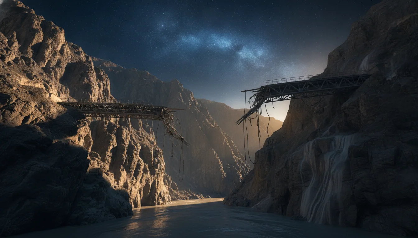
The Miteri Friendship Bridge had a name that felt almost deliberately poignant. Built to carry trade, people, and goodwill between Nepal and China, it spanned the gorge at Rasuwagadhi like a promise made in steel and concrete. By mid-morning on August 26, it was gone. Not damaged. Gone, swept into the Bhote Koshi as though it had never stood there at all.
Bridges are quiet infrastructure. You notice them only when you need them, or when they vanish. Thirty-two of them vanished that morning, along with the stretches of the only road connecting Kathmandu to Tibet — a trade artery, a supply line, a lifeline for remote communities erased in hours by something that had been solid ice a day before.
The Rasuwagadhi hydropower project sat further down the same valley, 211 megawatts of generating capacity feeding Nepal's national grid. The floodwater found it. Severe damage to a plant that size does not just darken a few towns; it punches a hole in a country's energy balance that takes months, sometimes years, to repair. Over 100 workers are feared trapped in the tunnels of Rasuwagadhi and the nearby Trishuli 3A project. No one yet knows exactly what they found inside those tunnels when the water came.
Then there were the schools. UNICEF counted 18 completely destroyed, 20 more damaged. Ten thousand children, who had desks and notebooks and somewhere to go each morning, now do not — and those losses do not appear in any infrastructure repair budget.
Nepal's Flood Warning Systems: Built for Rain, Not Ice
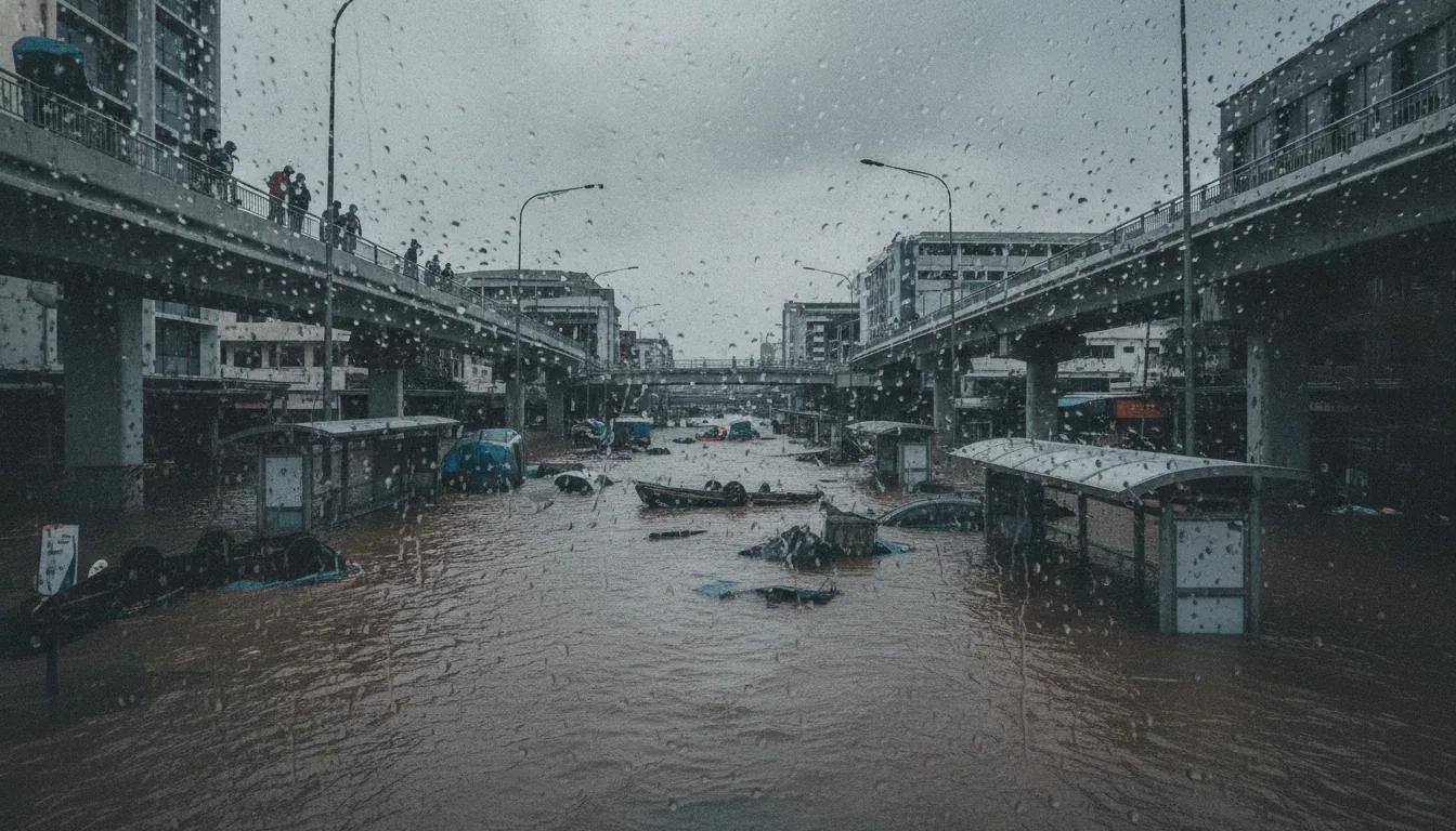
Nepal's flood detection network did its job perfectly. That is the problem. The sensors measured rising water levels in rivers swollen by monsoon rain, exactly the threat they were designed to catch. A glacial collapse is a different animal entirely: the water doesn't rise, it arrives, in minutes or seconds, as a wall.
Compare the two failure modes. A monsoon flood builds over hours or days as rain saturates a watershed upstream. Sensors register the climb, alerts go out, people move. A glacial lake outburst flood compresses that timeline into something closer to a traffic accident than a weather event — and by the time a water-level monitor downstream registered the Bhote Koshi surging, the wave had already devoured the gorge. The warning system wasn't broken. It was answering the wrong question.
Now add the data gap that no sensor can fix. The glacier that collapsed sits near the Nepal-China border. The upstream hydrology, the snowpack readings, the lake volumes — all of it lies inside Tibet, where China's real-time data sharing with Nepal is limited at best. Nepal's forecasters were watching the river with one eye closed.
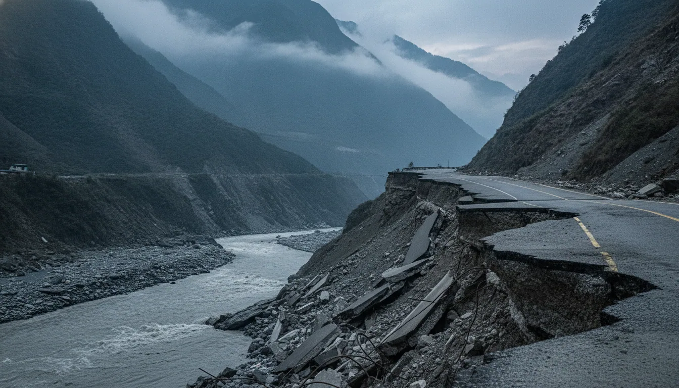
The region's vulnerability wasn't a surprise written in the future. It was written in the past. The same slopes that let go in August 2026 were cracked and weakened by the 7.8-magnitude earthquake of April 2015, which killed 8,800 people and left the geology of these valleys fundamentally less stable. Scientists at ICIMOD had the record. The early-warning architecture, still calibrated for seasonal rain, did not.
What Comes Next, and What We Still Cannot Answer
The numbers of response are almost as staggering as the numbers of loss. Nepal mobilized 19,895 security personnel, who pulled 10,451 people from the debris, the mud, and the river margins. The United States committed 3.6 million dollars in immediate humanitarian aid. The International Federation of Red Cross and Red Crescent Societies launched a 25 million CHF emergency appeal. These are large figures. They are also, by any honest accounting, a floor, not a ceiling.
The barrier lake near the Tibet border remains the open wound in all of this. No one can say with confidence that the second wave will not come. The final death toll is equally unresolved: 4,247 individual missing-persons cases are under active investigation, but bodies have already turned up 240 kilometers downstream, and an unknown number have crossed into India or lie under meters of sediment that may not shift for months.
The question that should keep hydrologists and policymakers sleepless extends past this valley and past this event. How many other glacial corridors in the Himalayas are one magnitude-5 seismic event away from the same cascade? Nepal's 2026 flood catastrophe did not emerge from nowhere — it emerged from decades of warming ice, earthquake-fractured geology, and early-warning systems still calibrated for a different era of risk. We built those systems for rain. The ice did not read the manual.