26 August 2026: What Happened on the Lhende Khola
In June 2013, the Kedarnath flash flood in Uttarakhand killed somewhere between five and twenty thousand people — the range itself an indictment of the state's capacity to count its dead in the mountains. The comparison to August 26, 2026 is not wrong, but it needs adjusting immediately: Kedarnath was rain. What hit the Lhende Khola was something colder and structurally different, and the distinction is not academic — it sits at the center of the water geopolitics that August 26 made legible.
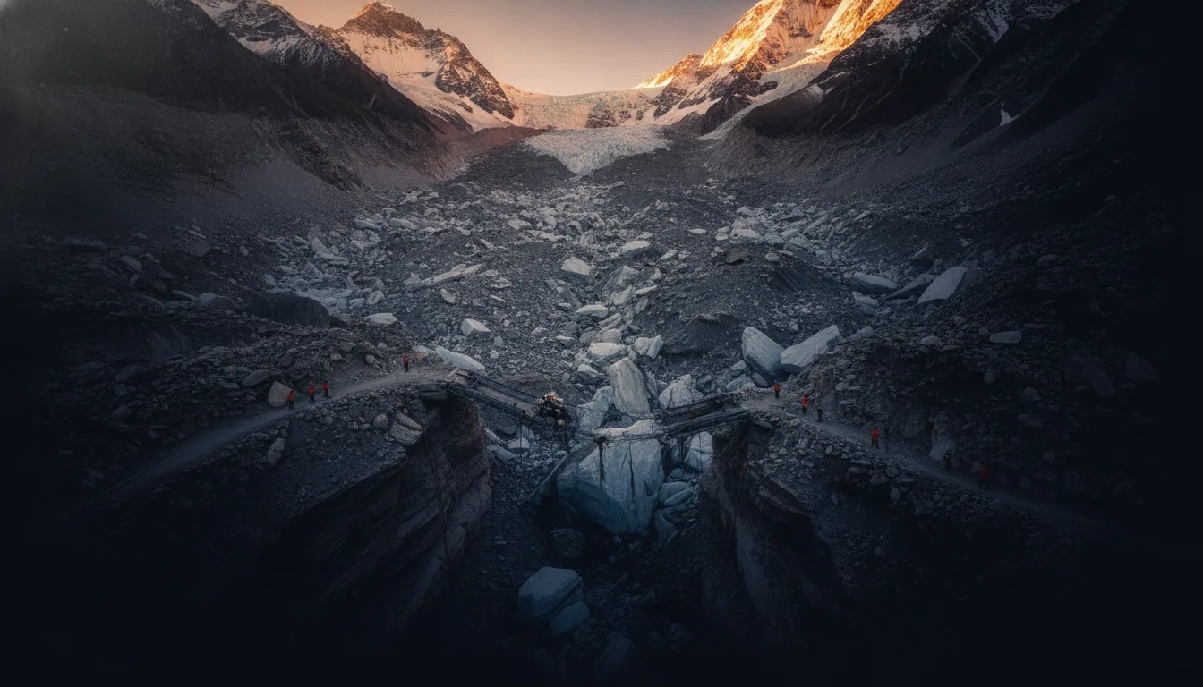
An ice-rock avalanche destabilised the upper drainage and sent a sudden surge down the Lhende Khola, feeding into the Bhotekoshi River corridor that runs the Nepal-China border through Rasuwa district. The surge did not build gradually. It arrived. By the time confirmed tallies were possible, at least 95 to 98 people were dead across the border regions of Nepal and the Gyirong Port area in Tibet, with hundreds still missing.
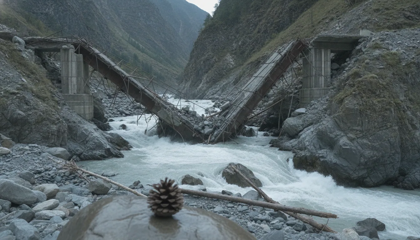
Rasuwa district absorbed the highest concentration of casualties. The Rasuwagadhi Friendship Bridge, the primary trade and transit artery between Nepal and China at that crossing, was destroyed. The Gyirong Port, on the Chinese side, was disabled.
The mechanism matters more than the headline number. Rainfall floods follow weather systems that forecasters can track. A glacial ice-rock avalanche follows thermal instability that no downstream rain gauge captures.
Himalayan glaciers have been melting at twice the rate they managed before 2000. What that means, practically, is that the mountain is generating new categories of hazard faster than any early warning architecture in the region has been built to recognise.
The event on the Lhende Khola was not an anomaly. It was a demonstration.
What the Surge Took With It: Bridge, Power, and the Missing Pilgrims
The Rasuwagadhi Friendship Bridge is gone. That single fact carries more strategic weight than any death-toll figure, not because the dead matter less, but because the bridge was the physical hinge of Nepal-China overland trade — the one crossing in Rasuwa district, the corridor through which goods, fuel, and tourists moved between Kathmandu and the Tibetan plateau.
A surge does not need to kill a state to cripple it. It needs only to remove the connective tissue.
Alongside the bridge, the flood took 430 MW of hydroelectric generating capacity offline — roughly 12 percent of Nepal's total electricity supply, stripped in a single morning. Nepal has spent the better part of a decade building a political narrative around its rivers: that the headwaters falling from Tibet can be converted into clean power and sold southward, making the country not a victim of its geography but a beneficiary of it.
That narrative now sits in the sediment with the turbines. The grid does not wait for narratives to recover.
Then there are the 384 tourists reported missing along the border corridor, 291 of them nationals of India, the United States, the United Kingdom, and Malaysia. Most were travelling toward Mount Kailash — the sacred site in Tibet that draws pilgrims across this exact corridor each season. The pilgrimage economy and the power-export economy share the same infrastructure: the same bridge, the same road, the same transboundary river valley.
When the valley fails, both fail together. Nepal's green-energy transition and its high-altitude tourism industry were, structurally, the same bet. The surge called it.
The Accelerant: Glaciers, Rain Records, and the Price Paid Elsewhere
The wire calls August 26 unprecedented. The data calls it predictable. Himalayan glaciers have been melting at twice the rate they recorded before 2000, a structural shift documented by ICIMOD that rewrites the risk calculus for every river valley below Tibet.
The ice retreats, the unstable rock and debris it held in place does not, and the conditions for an ice-rock avalanche require less provocation each successive summer.
2024 was Nepal's wettest year in 77 years. Two hundred and fifty people died in September of that year alone. That is not an anomaly registering as a data point; that is a pattern arriving on schedule, each iteration slightly larger than the one before.
The regional cost is already readable in numbers. The 2025 Pakistan floods produced an estimated 40 billion dollars in economic damage across a country with limited fiscal room to absorb it. Pakistan is not Nepal, and the Indus watershed is not the Bhotekoshi. The mechanism, however, is the same: warming at altitude, water held longer than the terrain can manage, release violent enough to erase what engineers built over decades.
Glacial Lake Outburst Floods are becoming more frequent as the melt accelerates. The ice-rock avalanche that triggered the Lhende Khola surge on August 26 was not a freakish compound event. It was the kind of event that the physics of a warming Himalaya now generates with increasing regularity.
The practical question for anyone downstream is not whether the next one comes, but how much of the warning infrastructure will be in place when it does. The answer to that question is structural, not meteorological, and it lives in the chapters that follow.
Two Dams, One River System, and the State That Gets No Vote
Picture the river system as a ledger with three entries: Tibet at the top, Nepal in the middle, Bihar and Uttar Pradesh at the bottom. On August 26, the ledger balanced in the worst direction — flood alerts rolled into two of India's most populous states before the mud had dried in Rasuwa. Three hundred million people downstream, receiving the bill for a disaster they had no hand in making.
The structural arithmetic is not complicated. China is building the Medog dam at the Great Bend of the Brahmaputra in Tibet, a project India reads as a potential instrument of flow control — the ability, in a crisis or a conflict, to release or withhold water on a schedule set in Beijing. India's answer is the Siang dam in Arunachal Pradesh, an eleven-billion-dollar counter-weight designed less to generate electricity than to assert that New Delhi can play the same game. Two infrastructural bets, one river system, and the logic of deterrence applied to hydrology.
Nepal controls neither project. The Bhotekoshi riverbank is the small-nation floor here: a state that depends on transboundary headwaters for its grid, its bridges, its pilgrimage economy, and whose flood warnings arrive, when they arrive at all, as a downstream consequence of decisions taken in capitals that do not ask.
Ask the small question first: who is the borderland here, and who is the empire? The Bhotekoshi answers plainly enough.
The Medog dam will eventually go online. The Siang dam will eventually break ground. Nepal will watch both from the middle, and the river will continue to keep its own schedule.
No Treaty, No Data, No Warning: The Institutional Void That Kills
The 1960 Indus Waters Treaty was drafted before the first Himalayan glacier study, before the first hydroelectric dam in the upper Indus basin, before climate acceleration made the hydrology of the region structurally unpredictable. It is at least a treaty. Between China and India on the Brahmaputra and its tributaries, there is no equivalent — only a sequence of temporary memoranda committing both sides to share hydrological data, renewable at political convenience, and withdrawn at political friction.
The 2017 Doklam standoff is the instructive precedent. China suspended data-sharing arrangements during the border crisis, and downstream states received no upstream readings for the duration.
The lesson is not that Beijing acted unusually. The lesson is that the architecture permitted it — that treating river data as a bargaining chip is a structural feature of the arrangement, not an aberration. A memorandum is not a treaty; it has no enforcement clause, no arbitration mechanism, no consequence for silence.
Nepal sits at the bottom of this chain without an early warning system adequate to upstream glacial lake conditions, and without a direct communication channel to Chinese authorities on the Tibetan plateau. When a surge crosses the border, Kathmandu learns what Rasuwa learns: from the river itself.
The absence of a warning infrastructure is not an oversight. It is what hydro-hegemony looks like from the small-nation floor, rendered in hours and bodies.
It is what hydro-hegemony looks like from the small-nation floor, rendered in hours and bodies.
The Marker to Watch: Himalayan Flood Geopolitics After August 26
August 26, 2026 is now the fixed reference point. The question it leaves is not geological but diplomatic: who rebuilds the Rasuwagadhi bridge, on whose terms, and through which corridor. That answer will be legible within twelve months, and it will name the borderland's position more precisely than any communiqué.
Xi Jinping's stated order was to improve monitoring and early warning systems. The operational test is narrower. Whether China shares upstream glacial data with Nepal, not India, is the variable that moves the death toll.
Nepal lost 430 MW, 12 percent of its total electricity supply, in a single morning. That fiscal wound gives Kathmandu a concrete argument for international pressure on data-sharing. Whether Kathmandu deploys that argument, or absorbs the loss quietly and waits for the next surge, names the dilemma with precision that no analyst's framing can improve on.
The document to read is the next China-India hydrological data memorandum, whenever it comes up for renewal. Find the verb in the operative clause. If the text says the parties shall share data, someone at the table understood what August 26 cost. If it says may, the architecture is decorative, and this will be back on your screen before the next monsoon ends. The geopolitics of Himalayan floods does not reset between renewals.